Hazard Mitigation Plan Update Report for 2023
La Oficina de Manejo de Desastres de Boulder (ODM) ha cerrado, desde el mediodía de hoy, el Centro de Operaciones de Emergencia y el Centro de Llamadas de Emergencia
Emergency Operations Center and Call Center Closing
Eliminación de alimentos en mal estado
 Emergency Alert
Sign-up
Visit www.bocoalert.org to sign up to receive emergency messages about imminent threats and hazards by text message, email, and/or on your cell, home or work phone.
Boulder

For updates on emergencies, severe weather, and to sign up to receive notifications
Also follow ODM on
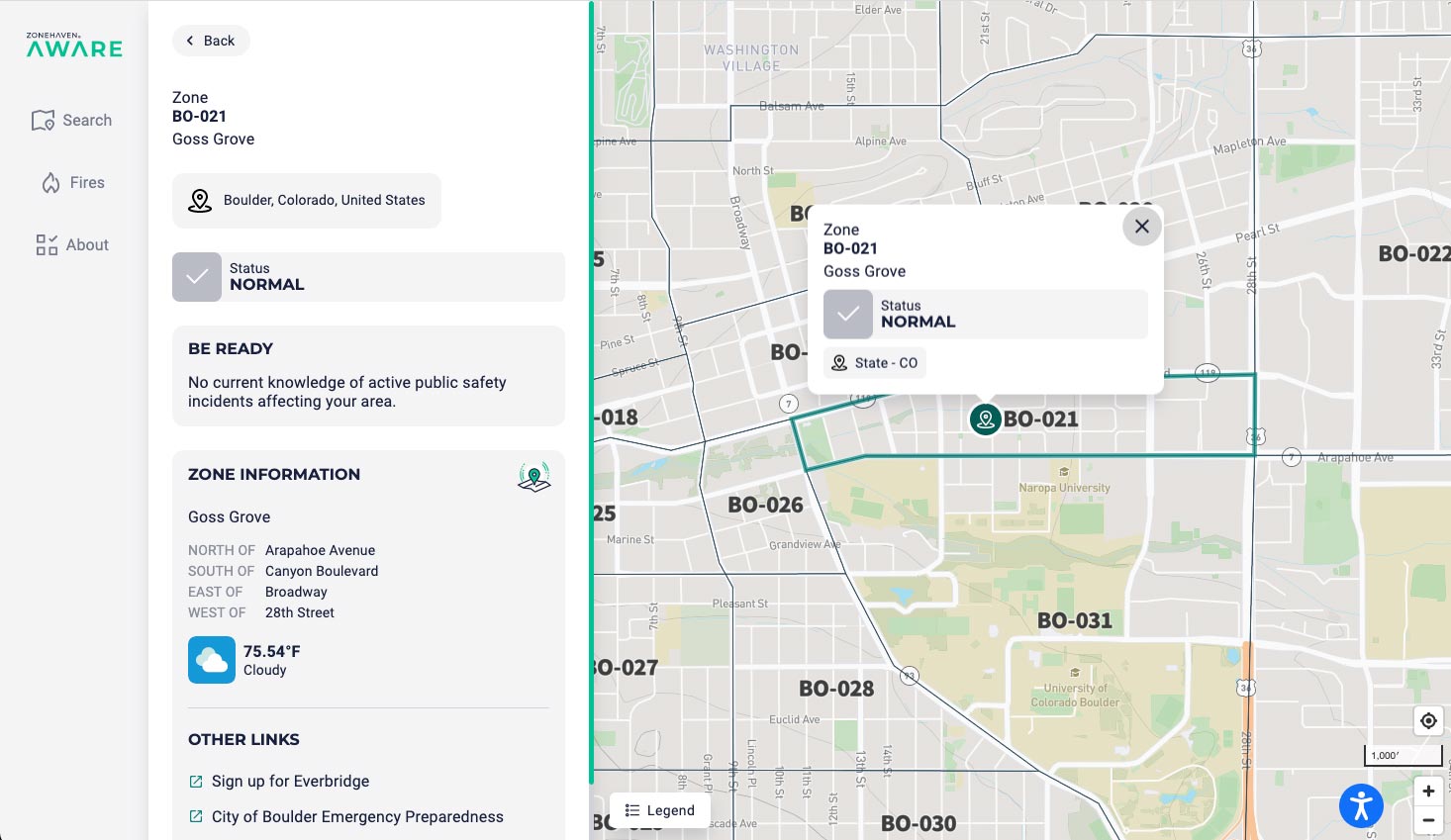
Wildfire Incident Map
This map provides updated information during a disaster such as evacuations, shelter-in-place and road closures.
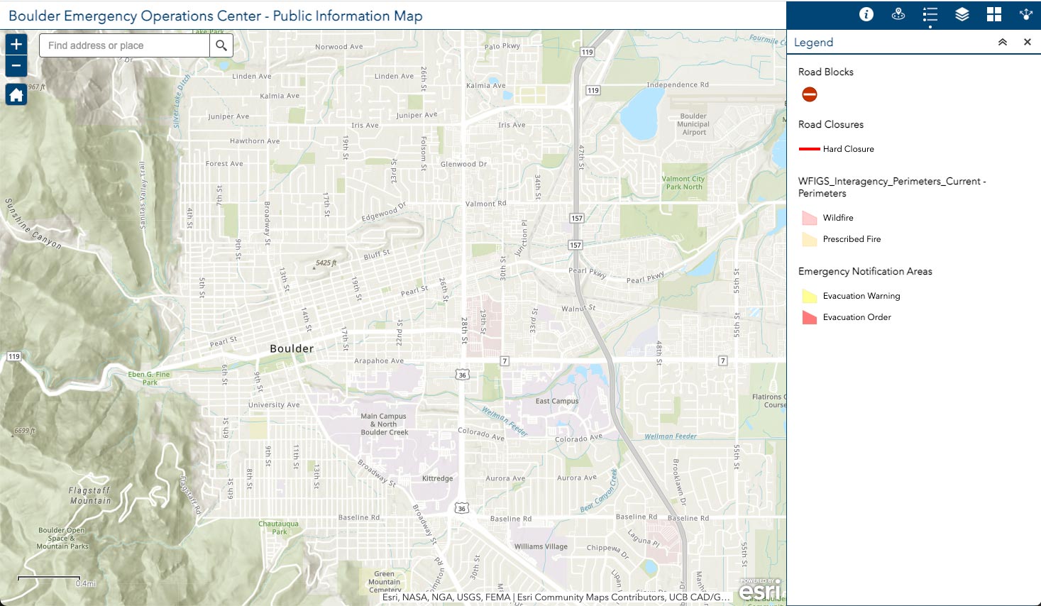
Information Map
This map provides updated information during a disaster when the Emergency Operations Center (EOC) is activated.
Events & Workshops

Disaster Preparedness Basics
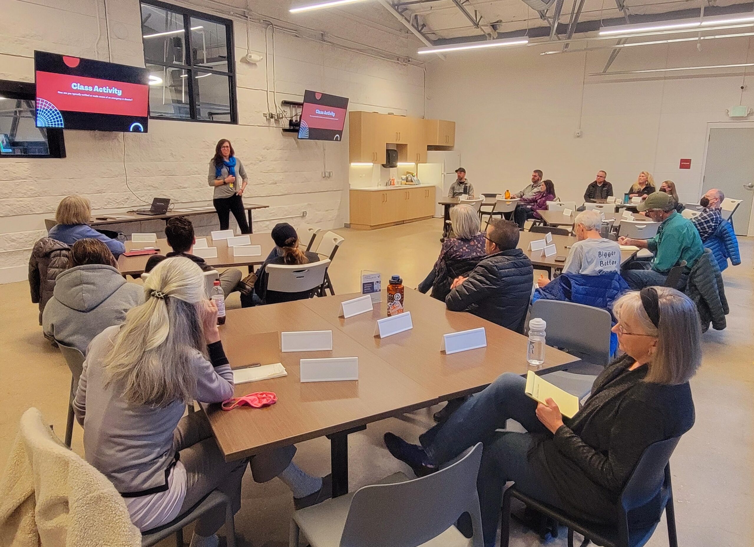
Join Boulder Office of Disaster Management to increase your personal preparedness! During this 90 minute workshop you’ll learn about Boulder County’s hazards, emergency alerts, personal risk assessment, and create your own disaster preparedness plan!
For questions or support with registration please call 303-441-3647.


